Topographic Surveys
Our topographic surveys (site plans) include:
- Site plans for builders and designers
- Terrain and contours
- Road and paved areas
- Tree and vegetation, including driplines
- Building footprint, levels, fence and existing utilities
- Building eaves and ridges
- Legal boundaries
- Services
Building Setout and Certification
Building setout Services Include:
- Construction (dwelling) Setout
- Building location certification
Land Development and Transfer
Boundary & Land Development Services Include:
- Subdivision Development
- Unit titles
- Land Development and Transfer
- Boundary Surveys
- Town Planning
- Topographic Surveys
- Cross-lease updates
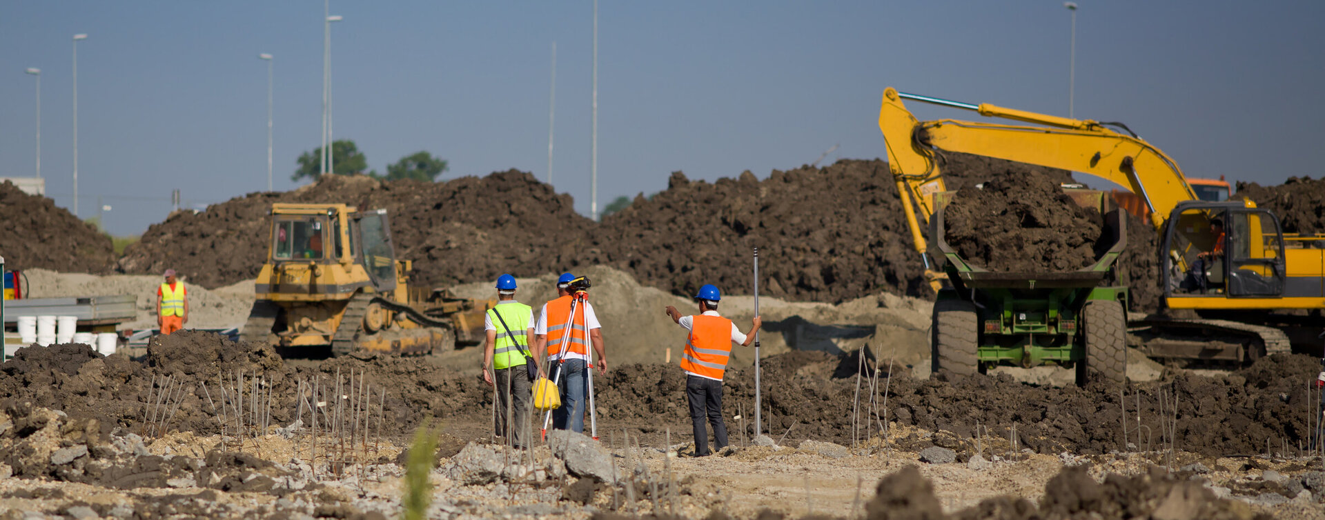
Civil Surveying
Civil Surveying Services Include:
- Site preparation for Greenfields construction projects or subdivisions
- Earth work management
- Accurate, timely and systematic management of monthly quantities
- Resource and utility surveying
- Initial design capture
- Feasibility research and studies
- Machine control design files
Construction Surveys
Construction Surveys Include:
- Check design and for-construction drawings
- Piling setout, vertical or raked
- Building and foundation setout
- Gridline and RL setout
- Penetration or any feature setout
- Height in relation to boundary (HIRB) certification
- Asbuilt and topographic surveys
- Setout surveys
High-Rise Buildings
- High-Rise Building surveys include:
- Verticality management
- Quick turnaround on floor and core asbuilts
- Improved safety through precision monitoring of structure movement
- We work with concrete sub-contractors and many other suppliers
Monitoring Services
Monitoring Services Include:
- Precise measurement of vertical and lateral movement, shortening and settlement of buildings
- High-rise monitoring
- Large scale aerial (UAV/drone) surveys
Engineering
Earthworks and Land Developement
- Erosion and Sediment Control
- Earthworks volumes and cut to fill design
- Access driveways and parking
- Large commercial carparks
- Commercial and Industrial yards
- Construction supervision and compliance
Drone Surveys
Use drone Surveys to:
Capture vast amounts of data over large areas in a short period of time. Whether your project is a few hectares or hundreds of square kilometres, our variety of survey grade drones are the tool for the job.
Capture surfaces and provide volume calculations.
Safely track the progress of your project.
Visual inspections.
Capture accurate data at hard to reach locations.
Some benefits of Aerial Surveys include:
A cost-effective option to collect survey data
No interference with site operations
Other services we can offer;
Stormwater
- Catchment analysis
- Design of reticulation systems
- Arrange soakage tests and CCTV surveys
- Stormwater treatment attenuation, detention ponds, and structures of all types
- Design of stormwater re-use systems
- Flood plain analysis
- Rain gardens
Waste Water
- Catchment analysis
- Design of reticulation systems
- Design of sewage pumping stations and rising mains
- Wastewater discharge consent applications
- Operation, maintenance plans and manuals
- Wastewater assessment reports
- Manufacturing process wastewater treatment, recycling, disposal systems and reticulation