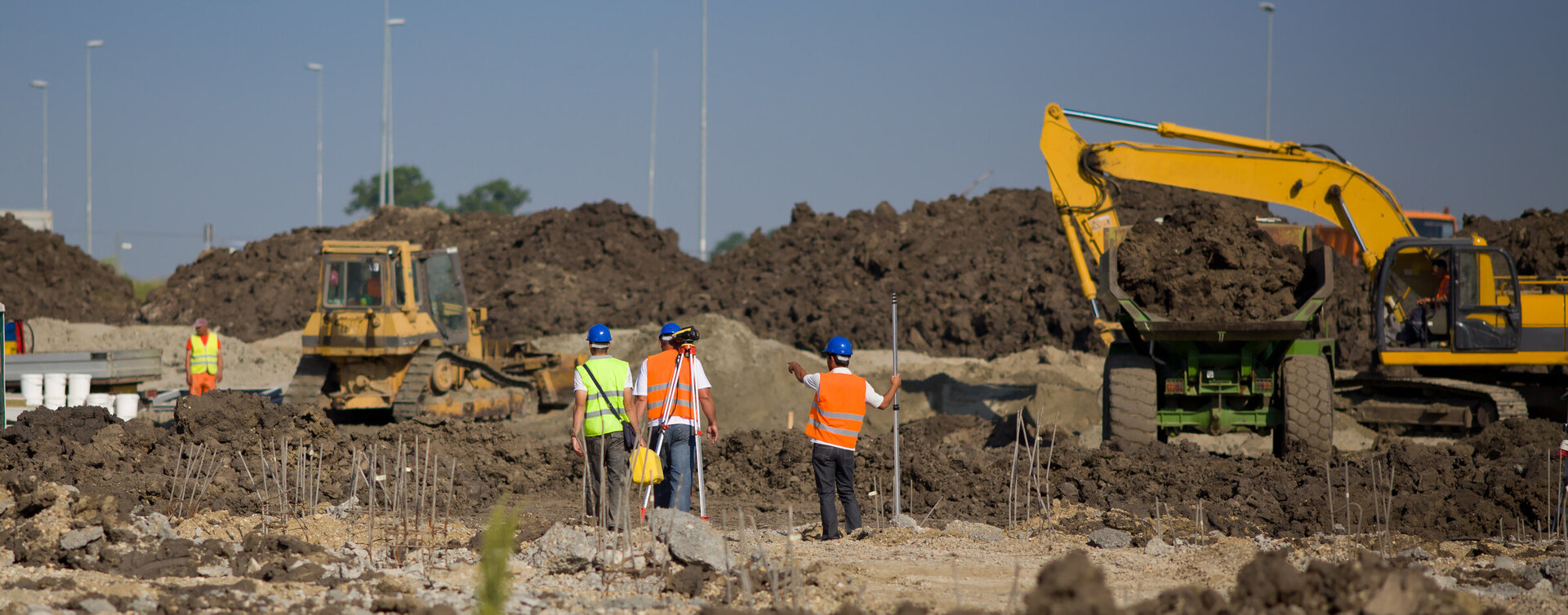
A boundary adjustment at the Thornton Beach Holiday Park
Boundary Readjustment
Due to the proposed expansion of the campsite, we were required to adjust the existing boundary.
We used a drone to survey and redefine the Mean High Water Springs (the dividing line between the land and sea) for 1km of water boundary.
This significantly reduced the time from having to manually survey the extent of the beach, reducing the cost to our clients and provides a graphical record of the position of the beach at that point in time.


